Industrial and data centres
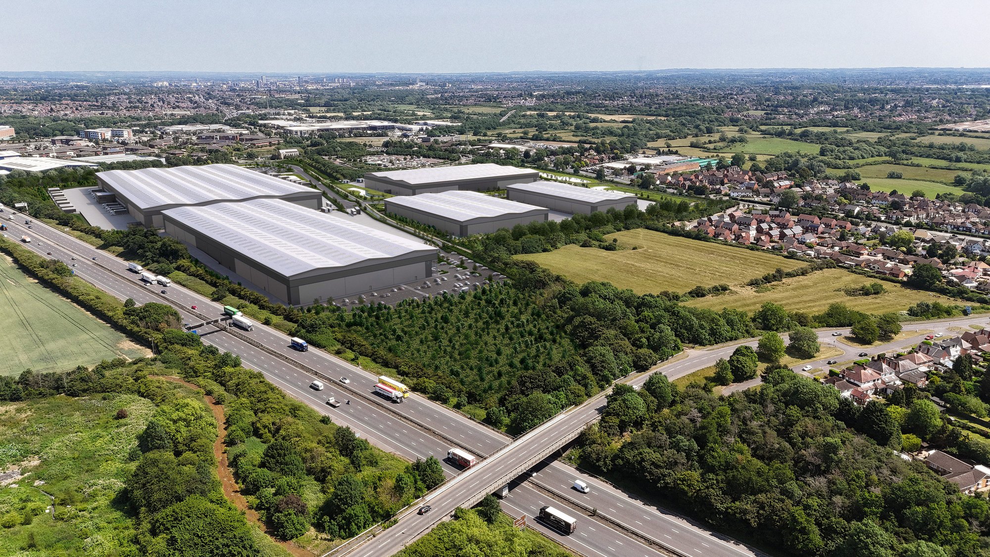
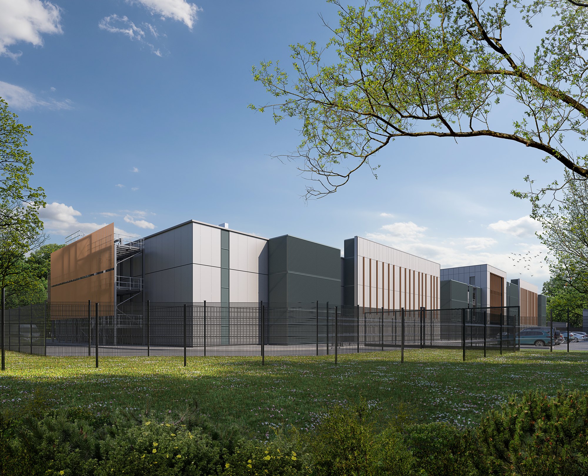
Large-scale industrial developments, logistics facilities and data centres can have a significant visual presence within their surroundings.
Our verified views show how these proposals will appear in the landscape: their scale, their visibility and their relationship with neighbouring buildings, roads and the wider environment. Each view is taken from a viewpoint agreed with the council and built to the same survey standard as any urban scheme, so the landscape and visual impact assessment rests on evidence that can be checked.
What we provide
Verified views
Photomontages from public viewpoints to LI TGN 06/19, for the landscape and visual impact assessment, with photography and survey commissioned and managed.
Wirelines
The outline of the building in the view, where it is hidden behind trees or landform, so the extent is clear even when little can be seen.
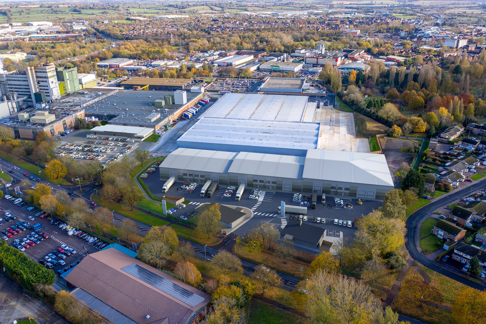
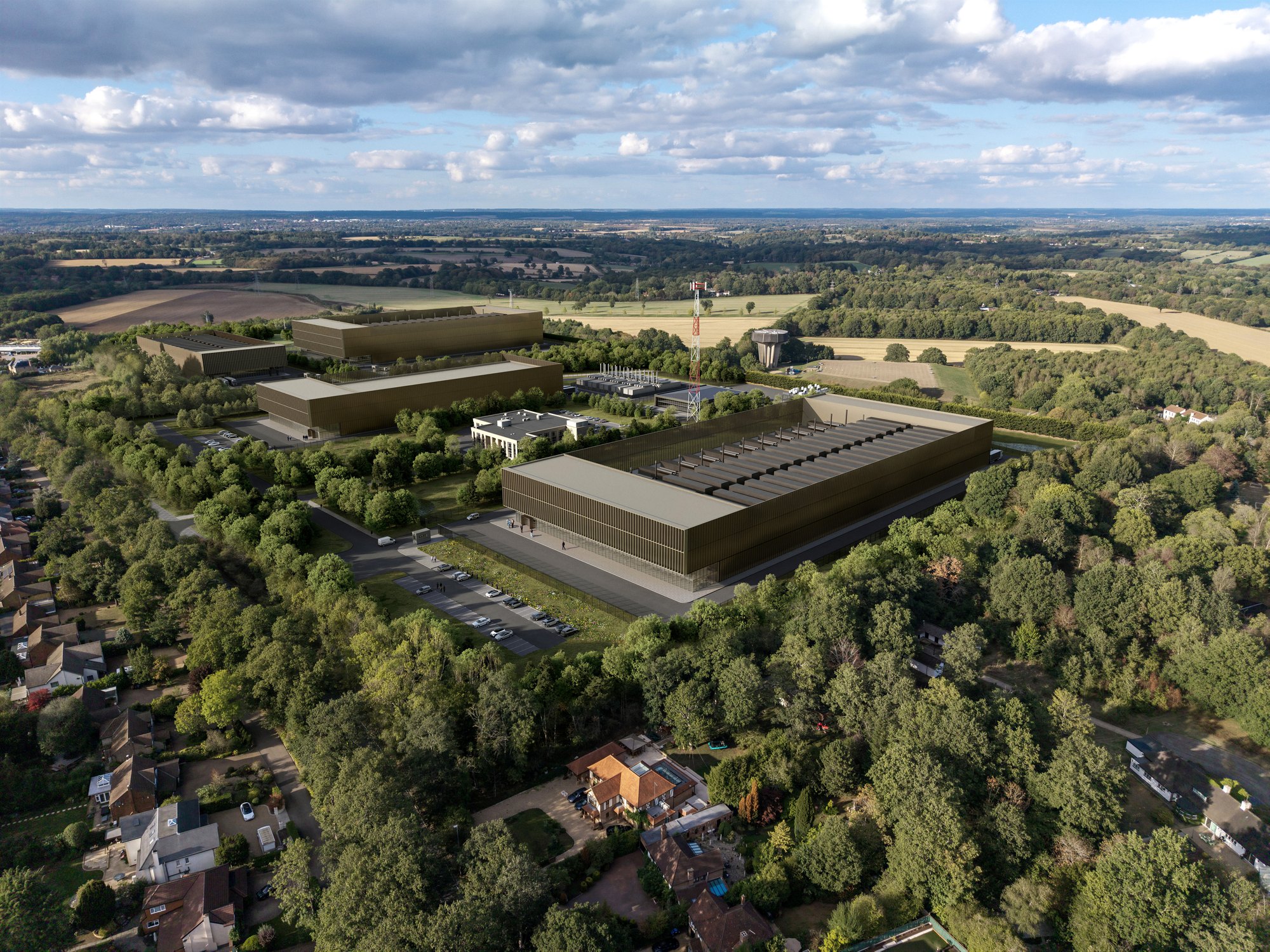
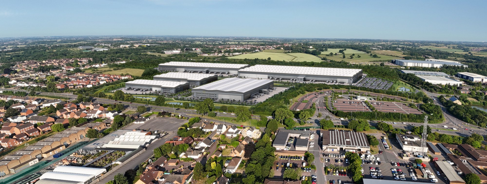
Aerials and context
Drone photography with the scheme set in, to show the whole campus, its access and its landscaping in one image.
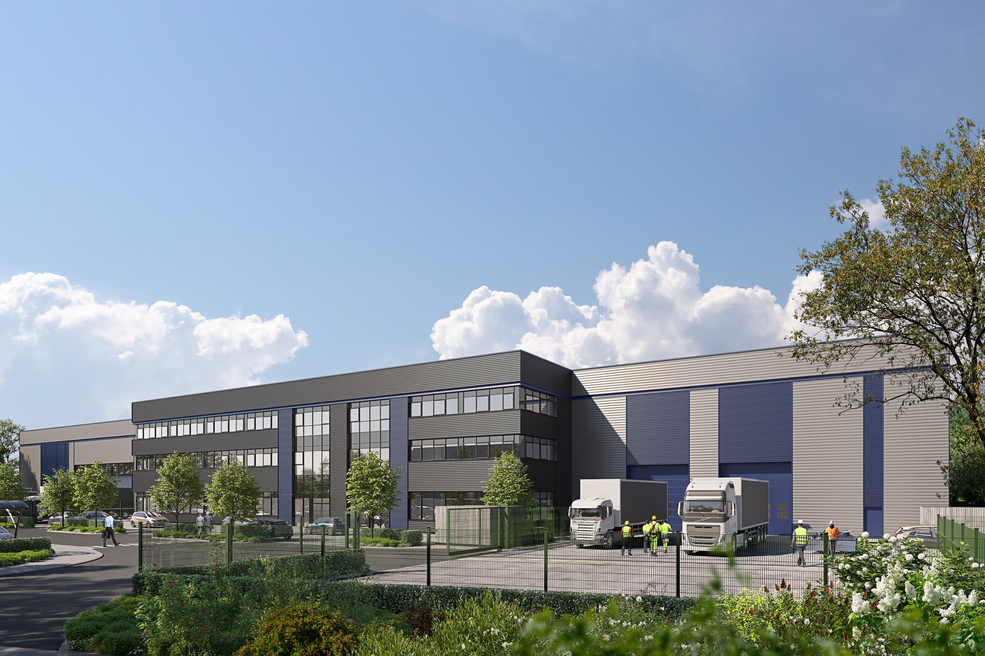
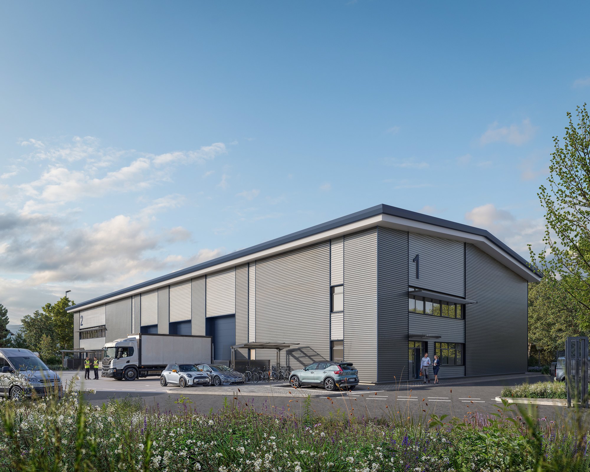
Design and Access images
Images of yards, entrances and offices for the design and access statement and for letting.
Wireline and photomontage
Drag to compare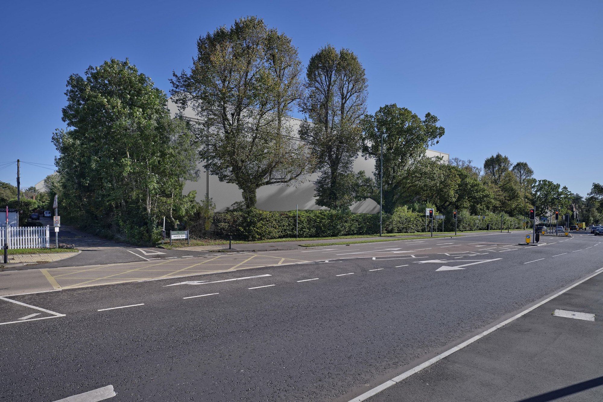
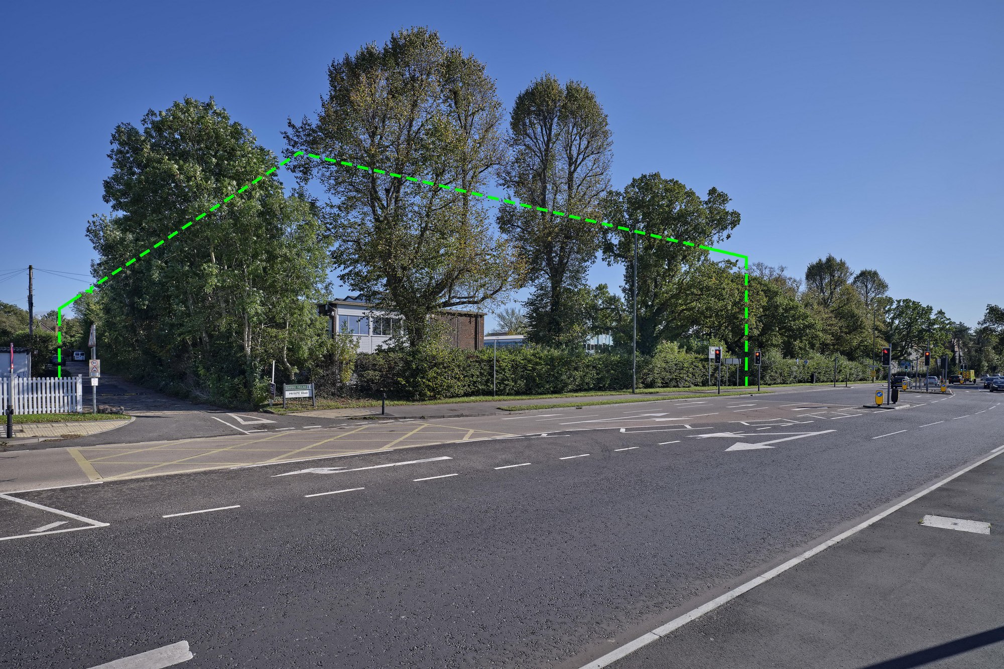 WirelinePhotomontage