Services Verified Views Planning Intelligence Gallery Work Get in Touch
Architectural CGI — Construct Media

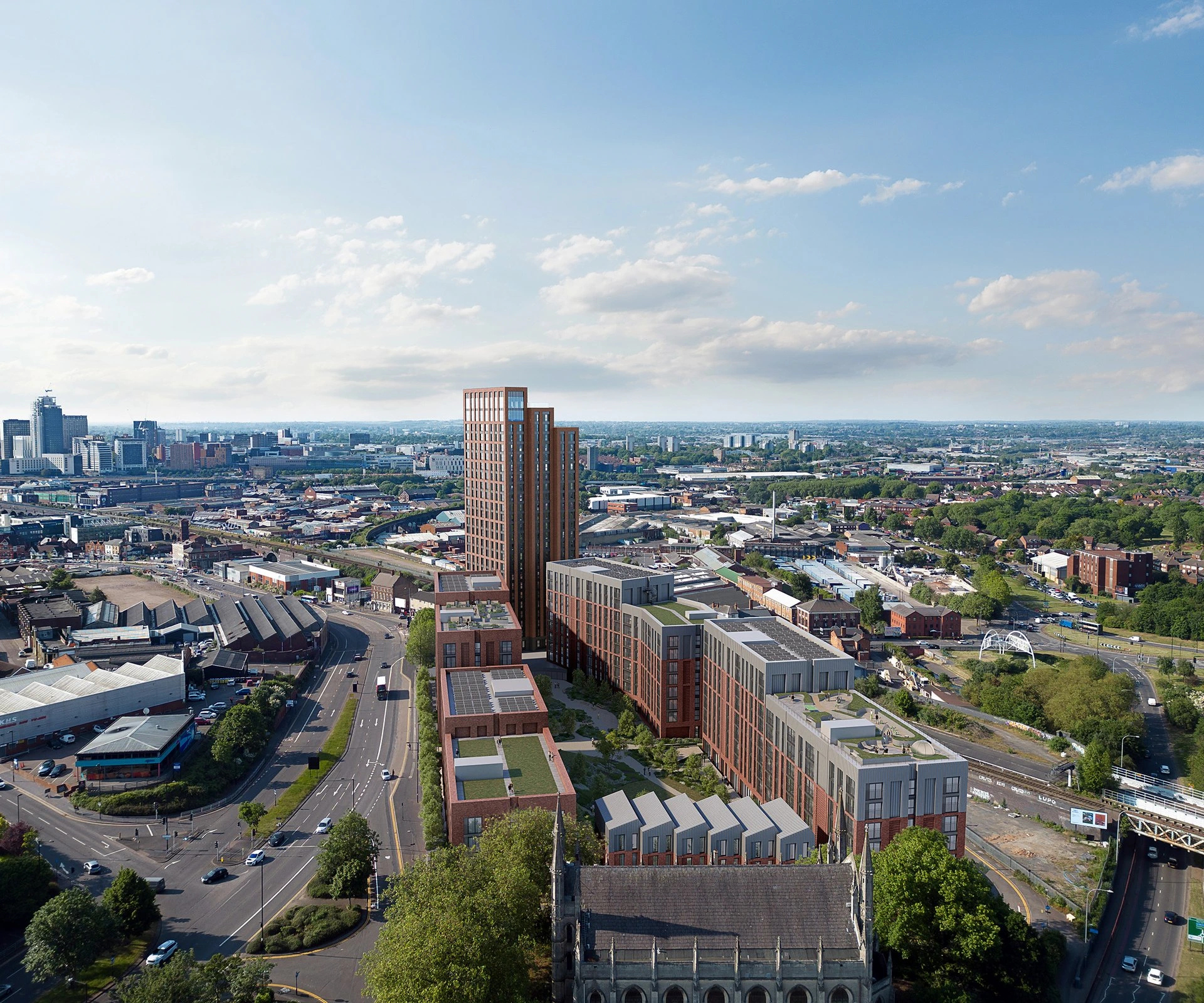
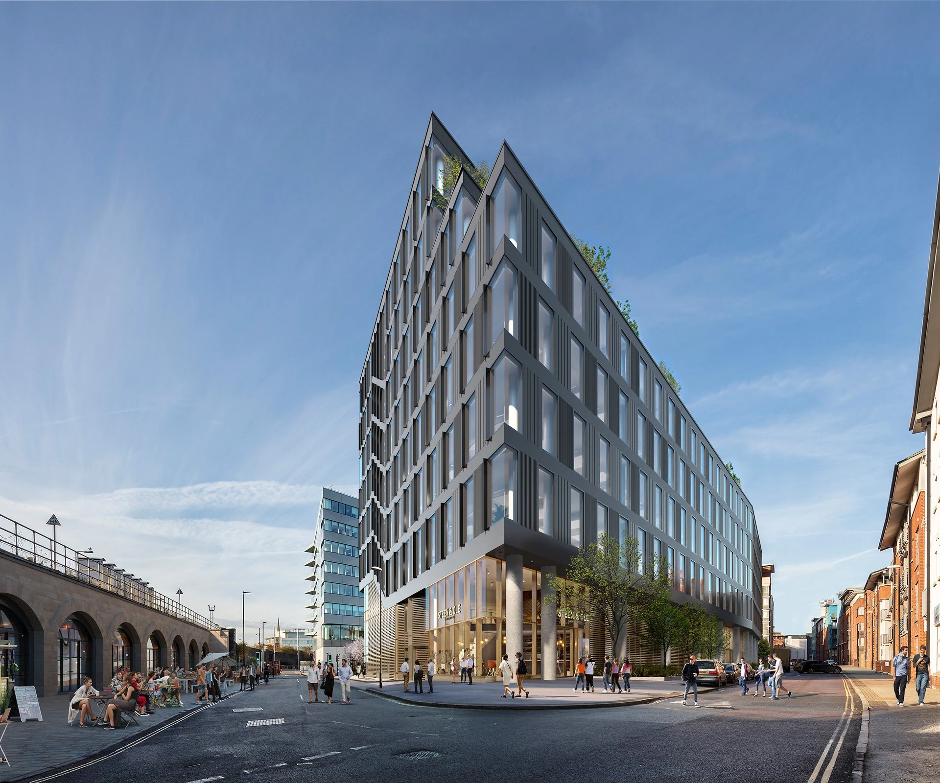
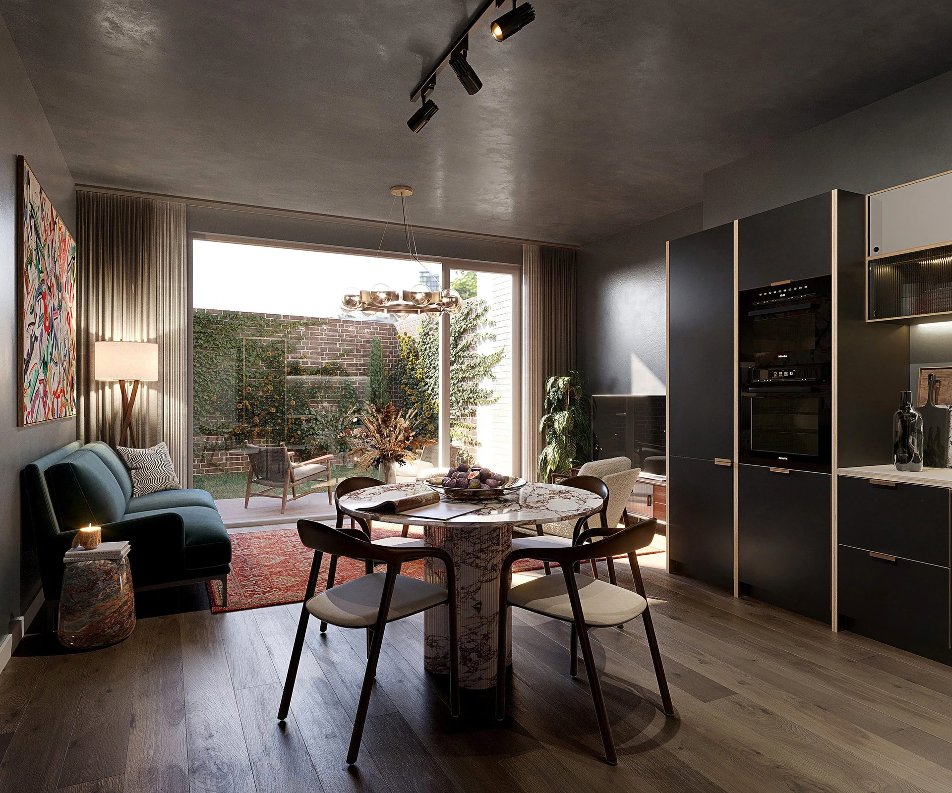
Architectural Visualisation & Verified Views — Bath, UK

The visual
that wins
the argument.

Twenty years of precision-led CGI and verified views — for architects, developers, and heritage bodies who need visuals that hold up under scrutiny.

Accuracy isn't enough. Your visualisation needs to be undeniable — technically credible to the inspector, and visually compelling to the decision-maker.

Construct Media — Bath, UK — founded 2003
20+
Years in practice

Founded in Bath in 2003. From early CGI to today's GPU-rendered photoreal environments.

1,500+
Projects delivered

Residential, commercial, hospitality and heritage — single dwellings to major regeneration schemes.

5,479
Images produced

Every image built from architects' drawings and BIM models, matched to real-world conditions.

133
Animations & films

Fly-throughs, marketing films and walk-throughs — every frame produced by experienced professionals.

Global project distribution

Global
reach
60% UK Market
25% US Market

Florida · North Carolina · Maryland
Master-planned communities & residential

10% African Market
5% Middle Eastern Market

The Practice

Founded and led by a practising architect.

Construct Media was established by Shane Gee, an architect by training, with two honours degrees and full professional qualification. That background is not incidental: it means proportion, planning consequence, and the standards demanded by heritage bodies and design review panels are instinctive rather than learned from a brief. Over 25 years, Shane has directed visual production for major development schemes across the UK, South Africa, the Middle East, and the United States — including large-scale AVR commissions for planning appeals and public inquiries, and CGI programmes for master-planned communities across three continents.

Credentials

Architecture

Two honours degrees and full professional qualification. The training that means planning, materiality, and heritage sensitivity are not observations — they are instinct.

Sotheby's Institute of Art

Art market expertise and aesthetic positioning — applied to heritage assessment and the quality benchmarks that luxury development demands.

BIM & Digital Twin Coordination

BIM management at BAA, including digital twin coordination at Paternoster Square. The technical foundation that underpins survey-accurate 3D model preparation.

25+ Years · Three Continents

Visual production directed across the UK, South Africa, the Middle East and the United States — from single heritage dwellings to nationally significant infrastructure schemes.

What we do

Three disciplines.
One standard of rigour.

We produce images that are built to persuade — technically sound enough to satisfy a planning inspector, atmospheric enough to move a buyer. And we build the intelligence tools that help you understand your planning risk before the application lands.

01 / 03

Architectural Visualisation

Photo-real CGI for residential, commercial and mixed-use projects at every stage — from early planning submissions through to marketing material and sales launches. We work directly from architect's drawings and BIM models, matching materiality, light conditions and context with care.

Exteriors · Interiors · Aerial views · Phased development sequences · Animation & film

02 / 03

Verified Views & AVRs

Accurate Visual Representations produced to the standards demanded by planning authorities, heritage bodies and design review panels. Our verified views are built around rigorous surveyed camera positions and photographic methodology — they're made to withstand interrogation.

Planning AVRs · Heritage impact assessment · LVIA support · EIA visual chapters · Townscape views

03 / 03

Visual Risk & Planning Intelligence

We develop tools and frameworks that help developers, planning consultants and local authorities understand visual planning risk before it becomes a problem. Through V-Score and our Advent Visual brand, we bring data-led rigour to the planning process — turning subjective visual assessment into defensible, evidence-based analysis.

V-Score visual risk audit · Corridor coordination · Cumulative impact baselines · Advent Visual →

Verified Views & AVRs

When the stakes are high enough to demand certainty.

Accurate Visual Representations are the technical foundation of any contested planning submission. Ours are produced with the rigour that planning inspectors, conservation officers and design review panels expect — and the clarity that helps decision-makers understand what they're approving.

Base photograph of School Road, Ealing — existing conditions before development
Verified view AVR of proposed residential tower, School Road Ealing — Construct Media
Existing Proposed

Drag or swipe to compare the base photograph with the verified view — School Road, Ealing, London

  • Surveyed camera positions established by a qualified topographic surveyor
  • Calibrated photography taken at the agreed station points
  • 3D model accurately positioned within a verified coordinate system
  • Rendered output composited to match the photographic base image
  • Full methodology report prepared for planning submission
  • Produced in accordance with GLVIA3, SNH/NatureScot and Historic England guidance
  • Compatible with EIA Townscape and Visual Impact Assessment chapters

Standards: GLVIA3 · SNH/NatureScot 2017 · Historic England Setting Guidance · GLA 2012 · SPG Visual Impact Methodologies

Download AVR Portfolio Download Method Statement

AVR Levels of Accuracy

Level 1 — Indicative

Approximate representation from publicly available mapping. Suitable for early-stage design consultation and pre-application scoping.

Level 2 — Accurate

Camera-matched photographic base with a geometrically accurate 3D model. Suitable for the majority of planning submissions and design review.

Level 3 — Verified

Full survey-controlled methodology with a detailed methodology report. Suitable for nationally significant schemes, heritage settings and contested applications.

We advise on the appropriate level for your project at brief stage. Most planning submissions require Level 2; heritage impact assessments typically require Level 3.

Methodology

How an AVR is built.

Every Accurate Visual Representation we produce follows a rigorous five-stage workflow governed by LI TGN 06/19 (Type 4), GLVIA3 and LVMF Appendix C. The process is documented at every stage and produces an audit trail that can withstand independent scrutiny at planning inquiry.

01

Site Photography

Full-frame Sony A7R IV (61MP) mounted at exactly 1.60m eye height on a calibrated panoramic levelling base with a nodal slide to eliminate parallax error. The camera is levelled in both axes; plumb bob marks the ground station directly beneath the lens. RAW capture with full EXIF metadata. Lens selection follows LI TGN 06/19, which identifies the 50mm prime (39.6° HFOV) as the benchmark for verifiability. Wider tilt-shift lenses are used only where the full proposed height cannot be captured at 50mm, and each choice is justified in the per-view data sheet.

02

Topographic Survey

An independent RICS-qualified surveyor records camera station coordinates using RTK GNSS (Geomax Zenith 60), achieving accuracy of ±10 to 15mm horizontal and ±15 to 20mm vertical under normal conditions. Camera height is recorded to Ordnance Datum Newlyn. A minimum of eight identifiable ground control points are surveyed, with the coordinate system established to OSGB36/OSTN15. Where higher accuracy is required, a Geomax Zoom 90 total station delivers ±5mm reflectorless EDM.

03

3D Model & Camera Match

The proposed development is modelled in 3ds Max from architect-issued CAD or BIM data and geo-referenced to OS coordinates. AOD levels are confirmed in writing with the project architect before rendering begins. The virtual camera is then aligned to the surveyed station: focal length, sensor dimensions and principal point are set to match the physical camera, and lens distortion is mathematically corrected. Surveyed reference point markers are placed at OSGB36 coordinates and iteratively refined until overlay is confirmed. The alignment overlay is retained as a permanent verification record.

04

Rendering & Compositing

The scene is rendered using Chaos Corona with a solar position calculated from precise astronomical algorithms applied to the exact date, time and geographic coordinates of the viewpoint, with True North alignment translated from OSGB36 Grid North. Foreground elements are masked non-destructively and all layers retained. The finished composite is reviewed by a second qualified team member before release. Material finishes and vegetation are approximated from specification documents: this element is rigorous interpretation, not independent verification, and we make this distinction clearly in every methodology statement.

05

Deliverables

Every commission includes: verified view images at each viewpoint (existing and proposed conditions); viewpoint location plans with 12-digit OS grid references; camera data schedule recording coordinates, bearing, lens, HFOV, date and time; survey data summary with accuracy statement; per-view technical data sheets; and a full LI TGN 06/19 Type 4 methodology statement, inquiry-ready. Wireline overlays and cumulative scheme views are provided where required by the competent authority or the planning consultant.

Note on verification

What "verified" actually means.

Verification applies to the documentation of inputs, not to a post-production audit of the final rendered image. The camera position, survey coordinates and building geometry are recorded with sufficient precision that they could be independently confirmed by a competent surveyor. In practice, no independent re-survey takes place: the methodology is auditable, not the output. What is verified is the data. What is represented is the image. These are related claims, and we make both honestly. LI TGN 06/19 §1.3 notes that visualisation effort must be proportionate to the scale, sensitivity and requirements of the competent authority.

Governing standards: LI TGN 06/19 Type 4 · GLVIA3 · LVMF Appendix C · RICS Guidelines · Historic England Setting Guidance

AVR Portfolio PDF Method Statement PDF

Planning Intelligence

Visual risk, made legible.

The planning system asks developers to demonstrate that their scheme is acceptable. We build the tools and frameworks that help you understand your visual risk before that question is asked — and answer it with precision when it is.

V-Score

Visual planning risk, scored and documented.

V-Score is a structured 35-point visual audit framework that evaluates a scheme's planning risk across the dimensions that most commonly drive refusal or appeal — townscape impact, heritage setting, cumulative effect, public realm quality and visual amenity. The output is a scored, documented report that gives developers, planning consultants and design teams a clear, evidence-based picture of where the visual case is strong and where it needs work — before the application is submitted.

Pre-application risk audit · Planning submission support · Appeal evidence · Design review preparation

Visit vscore.tech →

Advent Visual

Premium visual consultancy for heritage and luxury development.

Advent Visual is Construct Media's dedicated brand for high-value heritage, conservation and luxury development work — where the stakes are highest and the standard of visual evidence must be correspondingly rigorous. Advent operates at the intersection of architectural precision, heritage sensitivity and planning intelligence, delivering verified views and visual risk management for schemes where scrutiny is intense and the cost of getting it wrong is significant.

Heritage impact assessment · Listed building settings · Conservation area appraisals · Luxury development

Visit advent.art →

Corridor Coordination

A single visual baseline for multi-scheme regeneration corridors.

Where multiple schemes are coming forward in the same area simultaneously, the visual evidence base fragments. Each developer commissions independent photography, surveys and camera positions to different standards — making cumulative impact impossible to assess with rigour. We establish unified visual baselines for regeneration corridors: one survey framework, one photographic standard, one set of agreed viewpoints — shared across all schemes, maintained annually, and updated as each application progresses.

Unified survey frameworks · Shared photographic baselines · Cumulative impact visualisation · Annual programme management

Visual Risk Management

From submission to committee — visual evidence that holds.

Planning committees and design review panels increasingly scrutinise the quality and methodology of visual submissions. A technically correct AVR is necessary but not sufficient — the evidence must also be legible to non-specialist decision-makers. We work with developers and planning consultants to ensure that every visual submission is technically defensible, clearly presented and strategically positioned to support the planning case rather than merely illustrate it.

EIA visual chapters · Planning committee support · Design review preparation · Appeal evidence packages

Case Studies

Projects in depth

The UK case studies below represent a selection of our planning and heritage work. Alongside these, Construct Media has an extensive portfolio of residential CGI across the United States: master-planned communities, amenity and lifestyle imagery, and sales-launch visualisation across Florida, North Carolina and Maryland — including projects at Wesley Chapel, Winter Park, Jacksonville, Sarasota, Federal Hill, Lake Linganore, North Hills, Nona North, and approximately twenty further schemes delivered for US developer and architecture clients.

View USA Projects →
The Exchange E3, London

Residential / Interior CGI

The Exchange E3

Bow, London

Mixed-tenure residential in a designated regeneration zone — full CGI suite from planning submission through to sales launch, including interior lifestyle imagery for shared ownership and private market units.

Hayes Park, London

Commercial / Planning CGI

Hayes Park

Hayes, London

Major commercial campus redevelopment requiring planning CGIs demonstrating massing, public realm quality, and landscape integration for a London Borough design review submission.

Wimbledon Place

Residential / CGI

Wimbledon Place

Wimbledon, London

High-density residential in a sensitive suburban context — CGI scope coordinated with planning consultant to address design review concerns over scale, materiality, and townscape integration.

Bourne End

Residential / Heritage AVR

Bourne End

Bourne End, Hertfordshire

Residential development within a heritage setting requiring LI TGN 06/19 Type 3 verified views — camera-matched methodology with full planning submission documentation addressing listed building setting and Green Belt context.

Eden Campus

Mixed-Use / Planning CGI

Eden Campus

Musselburgh, Scotland

Brownfield regeneration on a waterfront site — planning CGI suite covering mixed commercial and residential phases, with aerial and street-level views produced to Scottish planning authority requirements.

Steenberg Green, Cape Town

Residential / International

Steenberg Green

Cape Town, South Africa

Premium residential development at the foot of the Constantiaberg — full CGI production for planning approval and investor marketing, requiring accurate landscape integration within a protected mountain setting.

Clients & Collaborators

Adderstone Group Aitch Group Allford Hall Monaghan Morris Arcadis Atkins Avanton Bainbridge Berkeley Group Darling Associates Architects DMBA EPR Architects Eutopia Homes Excelsior Farrells Francis Hunter Fraser & Co Fruition Properties Goodstone Hale Honky IPE Developments KALMARs Kibre Knight Frank Peerutin Karol Palmer Tabor Properties Redefine Properties Residential Land SAOTA Stanhope Stiff + Trevillion Squire & Partners Stirling Ackroyd Tishman Speyer Thornsett Wates

Contact

Let's talk about your project.

Tell us what you're working on. We're based in Bath and work with architects and developers across the UK — we'll come back to you quickly with a clear idea of what we can do and what it will cost.

Three specialist practices. One director.

Construct Media

Architectural CGI & AVR

constructmedia.co.uk

Advent Visual

Premium heritage & luxury visualisation

advent.art →

V-Score

Visual planning risk intelligence

vscore.tech →